View cart “Scan to BIM Services” has been added to your cart.
Adding product to the cart!
Added to the cart!
GIS Survey
$200.00
GIS (Geographic Information System) surveying involves the collection, analysis, interpretation, and visualization of spatial data to understand patterns, relationships, and trends in geographical phenomena.

 Add to cart
 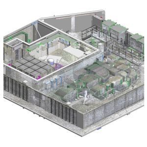 Add to cart
  Add to cart
  Add to cart